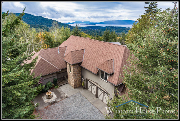
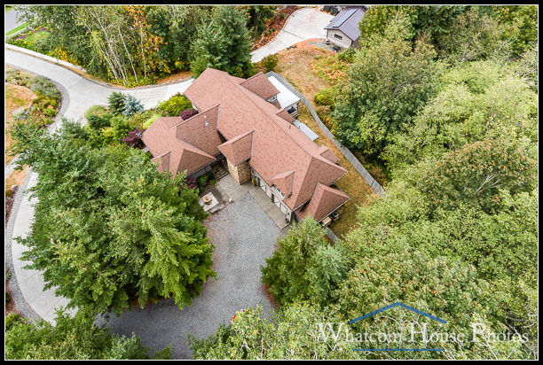
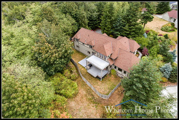
Sometimes ground-level photos just don’t show a home to best advantage. Or they don’t show the home in relation to a spectacular view. That’s where aerial photos add significant value to your listing.

Add aerial photos to your listing photo request and I’ll bring my flying camera, more commonly known as a drone, along.

Just as I have the knowledge and experience to make your listings look great from the ground, I apply the same skills to carefully place my camera in three-dimensional space to photograph homes from the air. We’ll discuss the features you want to emphasize, and the views you need, before I launch my drone to make sure you get exactly what you want and expect.

I’m a FAA-certified unmanned aircraft pilot, licensed to fly my drone commercially. Not every photographer with a drone, nor every realtor with their own drone, has gone to the trouble to pass the FAA test and get certified. It’s not an easy process, but it helps make sure that your aerial photographer knows where it’s safe to fly and avoid manned aircraft and other obstacles. By law, you must be FAA-certified to fly a drone for commercial purposes, including taking your own photos of your listings. Make sure you’re using a FAA-certified photographer when you need drone photography.

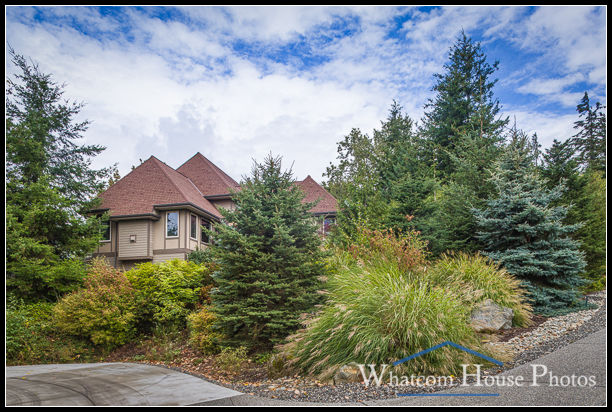
For comparison, the photo above is the ground-level view of the same home shown in the aerials.